River State Survey Using QField
Päämäärä
In order to assess the structural and morphological state of their water courses, the community of Milvignes needed to survey all the rivers crossing their territory.
Projekti
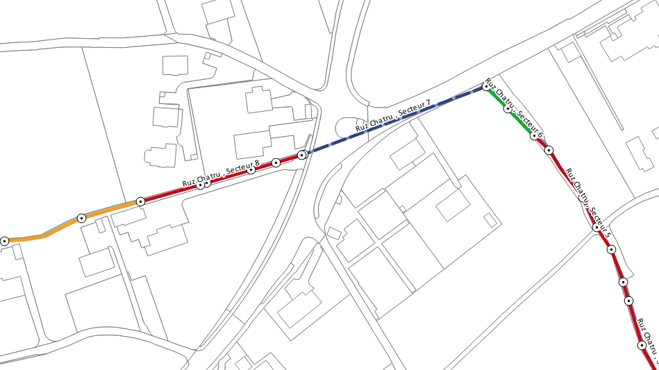
To facilitate the technician's field work (usually done with a map, a notebook and a camera), a QField project was created and made available on a Tablet. Cadastral and river layers were used as basemap.
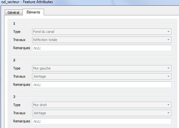
The structure of the input tables was designed along with the technician to assure that it would fit their field requirements. The idea was to have two tables:
- Sektoritaulukko
-
To draw sectors alongside the rivers and add information about their state and structure. If necessary, pre-defined structural work on the sector elements (wall, bridge, bottom of the canal) could also be documented.
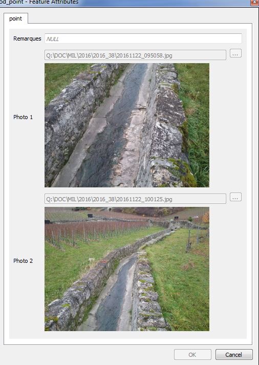
- Pistetaulukko
-
To take punctual photography of the water courses and of its elements and where necessary add remarks.
Tulos
In less than 3 days, the technician surveyed successfully all the 10'894 meters of water courses. Back at the office, it took only 2 hours to treat the data and get the final result.
- Facilitated the field survey
- Accelerated the data treatment


