Sensorit
QField offers a range of sensor functionalities that allow you to passively collect sensor data in the background, display the collected data, and save it into newly-digitized feature attributes.
Sensoreiden aktivointi
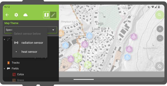
In QField, registered sensors are listed within the currently opened project file in a sub-menu thatcan be accessed via the side dashboard's main menu.
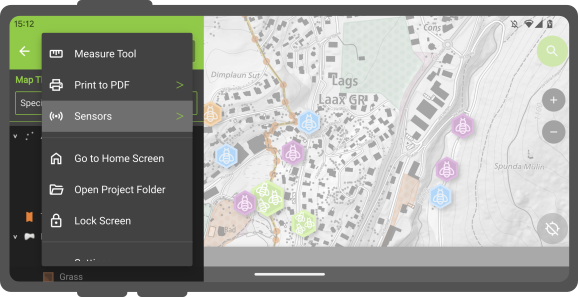
To toggle the passive collection of sensor data, simply click on a sensor name in the sub-menu. When active, a sensor icon will appear next to the sensor name, while when inactive, a dot icon will be shown.
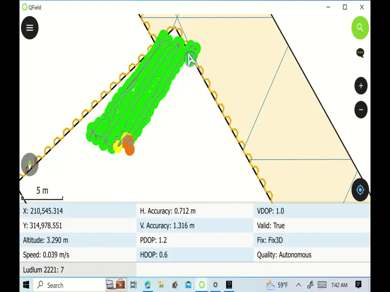
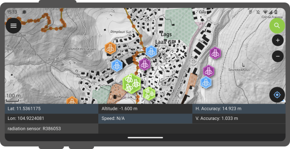
All active sensors that are collecting data will be listed in a sensors information table located at the bottom of QField's map canvas.
Sensori-ohjattu nauhoitus
QField enables you to initiate tracking sessions against a point layer, saving collected sensor data linked to your current position. To do this, you'll need to prepare the attribute default value for the point layer in QGIS by using the default value sensor_data('abc'), where 'abc' is replaced with the name of the sensor registered in the project file. Visit the attributes form documentation page to learn more about default values.
Once this configuration is done, you can start tracking your position against the point layer. When starting the tracking session, a sensor constraint can be activated to ensure that added points occur every time a sensor has captured new data.
![]()
See how tracking works in real-world scenarios: